Unlock the full power of the Examind suite
Examind Server lets you bring large-scale geographic data infrastructures to life. This enhanced commercial edition of Examind Community supports more data formats, and can be paired with the other Examind products to extend its capabilities further still.
Additional capabilities
Compared with Examind Community, its open source edition, Examind Server supports the very latest nautical charts in the S-100 format, along with additional data formats specific to domains such as defence, meteorology, maritime and security. Examind Server also provides user interfaces for the formats and additional capabilities that come from Examind SDK.
The platform includes: readers for the ECW, JPEG 2000, Radarsat, Spot 7, ECDIS and WECDIS formats; publishing services specific to the Cesium 3D client (3D Tiles); clustering services for better load distribution; and a Sensor Web infrastructure for working with connected devices.
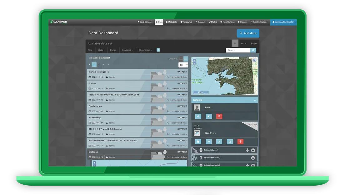
Your projects in the new data formats
Examind Server implements the IHO's new S-100 hydrographic standards, among them S-101, S-102, S-111 and S-121. The S-100 standard, and in particular the S-101 subset covering electronic charting, becomes mandatory from 2025, which is why the Geomatys teams are working to support a growing number of these standards as quickly as possible. The current implementation already covers every existing function of the earlier S-57/S-52 and S-63 standards offered by Examind.
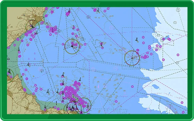
Use the World Meteorological Organization's weather symbols
To handle the meteorological data supported by Examind Server, our teams have implemented a wide range of cartographic styles, among them the symbology laid down by the WMO.
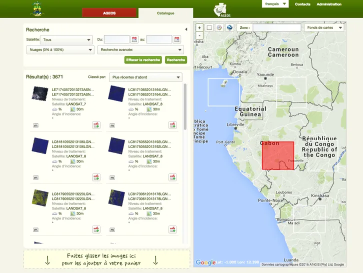
Earth observation
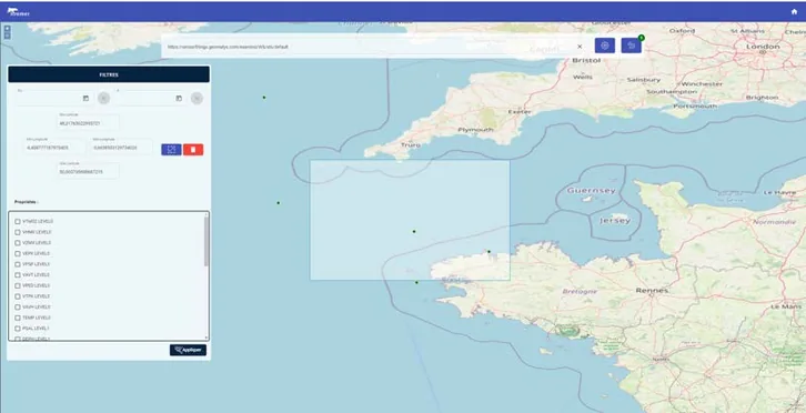
Oceanography
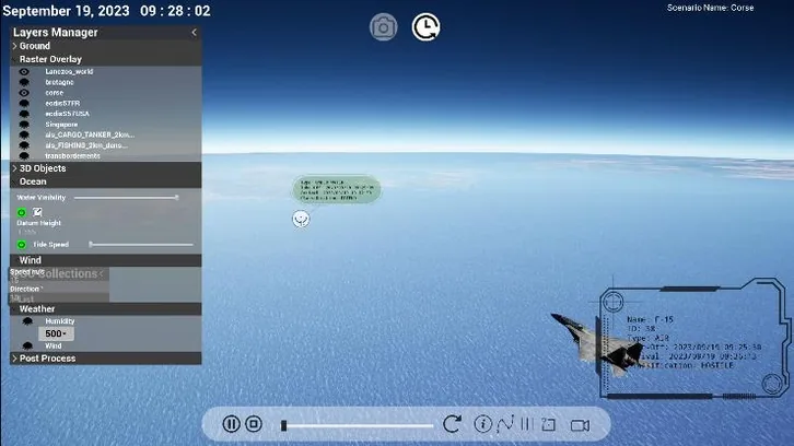
Simulation
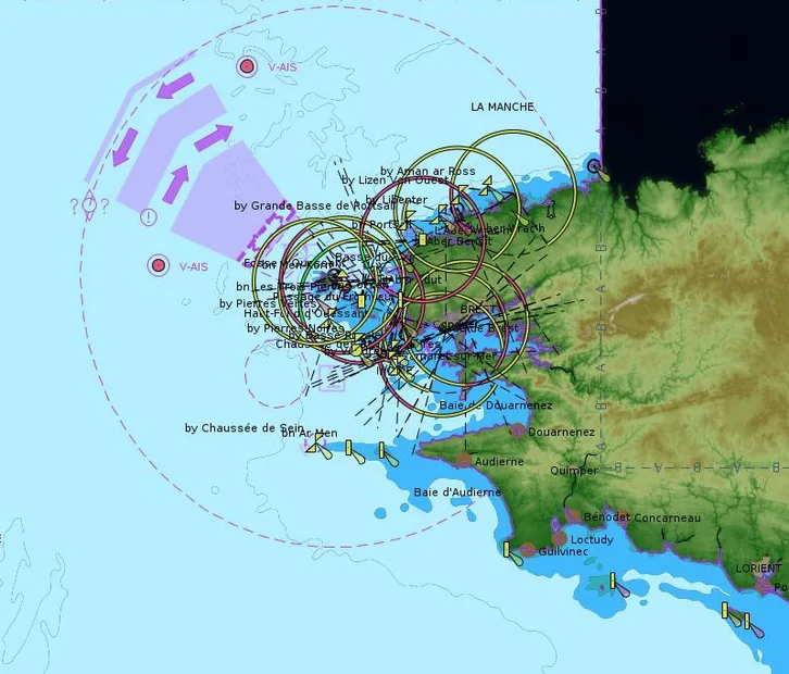
Maritime and defence applications
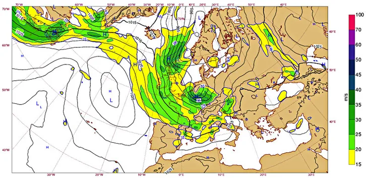
G.H.O.M. challenges
Web services
Every web service supported by Examind Community is supported by Examind Server: CS-W & STAC, WMS and WMTS, WCS, WFS, SOS & SensorThings, WPS
Next-generation formats
S-100: next-generation nautical charting
Take your projects up a dimension
Move from 2D data visualisation to a 3D environment with Examind Server's capabilities, and build large-scale projects such as digital twins.
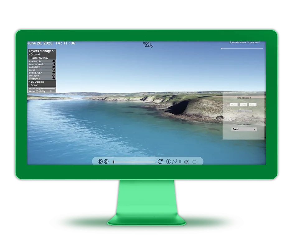
Multiply the possibilities with add-ons
Analyse large data volumes in real time with this add-on, which interconnects Examind Server with geospatial data lakes.

Build the extra tools your software solutions need with ease, even without prior experience.
Setting up your infrastructure with Examind Server entitles you to a support offering from the Geomatys teams, to help your project evolve, or simply to answer your questions and resolve the problems you run into.