The open source map server of the Examind suite
Examind Community is a complete, intuitive open source map server with a strong focus on hydrographic, oceanographic and meteorological data. It lets you centralise, manage and publish your geographic data. Build a robust, flexible data infrastructure without the constraints of proprietary software. Download it
Wide-ranging capabilities
Benefit from a broad range of standard OGC services for optimal interoperability (see below).
Handle every common data format with ease (GeoTIFF, Shapefile, NetCDF, GRIB, S-57 and more) and draw on tools and services such as SLD, WMC, SensorThings and GeoPackage to build wide-ranging applications, covering metadata catalogue management as much as in-situ sensor network exploitation.
Publishing electronic navigational charts
High-performance support for the IHO S-57 and S-52 standards. Take advantage of the first open source spatial data infrastructure able to read electronic navigational charts in the S-57 standard. Examind Community can be used to design port management or navigation solutions. Support for the S-52 symbology standard also lets you create your own bespoke styles, and adapt the rendering to every one of your uses.
Examind Community is intended for general-purpose use of hydrographic data. Developing an ECDIS navigation solution requires an Examind Server licence, in order to handle data encrypted under the S-63 standard.

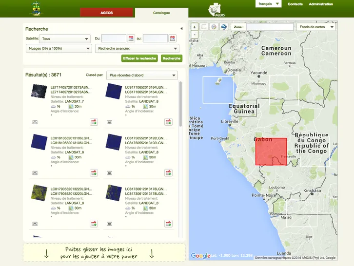
Earth observation
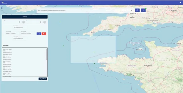
Oceanography
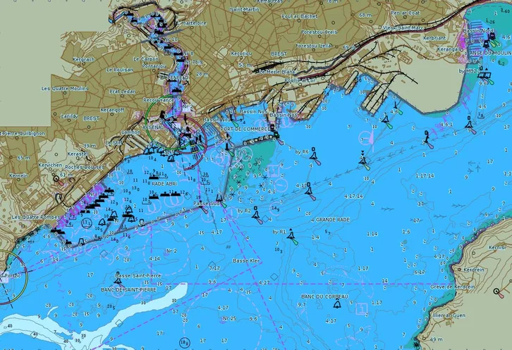
Port management
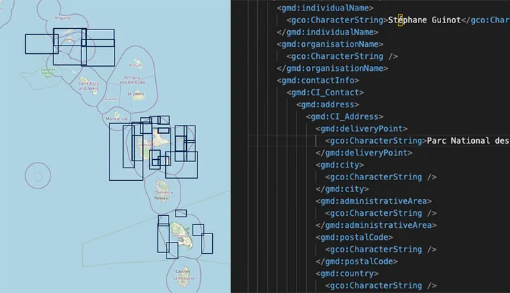
Metadata
CS-W & STAC: for data and metadata management
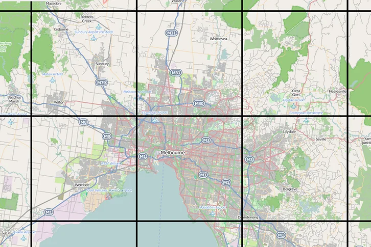
Mapping
WMS and WMTS: for data visualisation through the classic services

Raster data
WCS: for publishing coverage data

Vector data
WFS: for publishing vector data
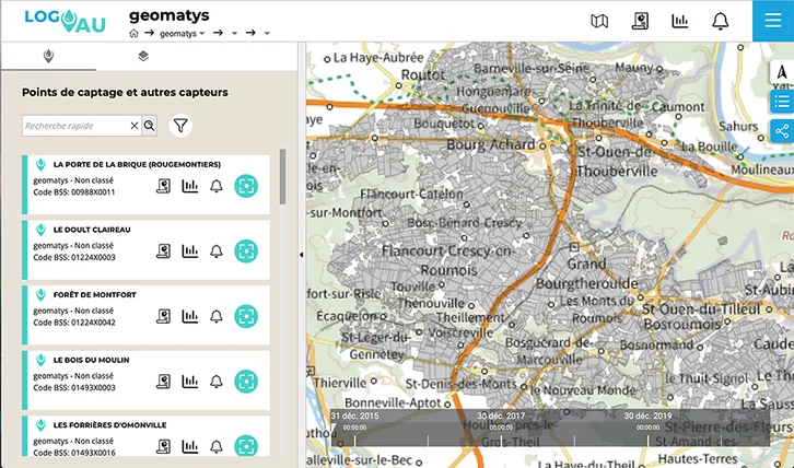
Sensor data
SOS and SensorThings: for publishing observation data and retrieving information from connected devices
Geoprocessing
WPS: for setting up distributed processing
Maritime navigation and port management support
S-57: integrating and exploiting nautical charts for the management of coastal zones and waterways.
A simple tool built for you
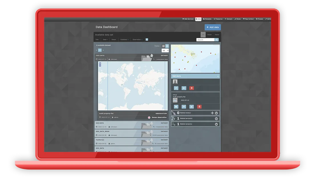
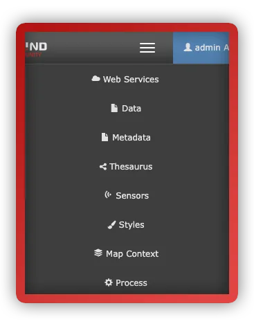
Examind Community adapts to your needs, whether you are a newcomer or a GIS expert. Ergonomic interfaces make data and metadata management straightforward, while REST APIs and automation options allow seamless integration into complex environments.
Join the active Examind community and benefit from responsive support and comprehensive documentation. Download Examind Community today and discover the power of a capable, accessible open source GIS.
Looking for more? Discover Examind Server
The commercial edition of Examind Community, refined and optimised.

Download Examind Community
 View the source code on GitHub