Build tools with advanced capabilities
The Examind suite's development kit, to extend what it can do
Deliver your most demanding projects
Examind SDK is a programming library that extends the capabilities offered by Examind Community and Examind Server. It lets any development team with no geospatial speciality build tools with advanced capabilities that answer precise problems. Through clear APIs, create 3D scenes and work with complex multidimensional data, or with nautical and aeronautical chart data.
Examind SDK's key points
Additional capabilities
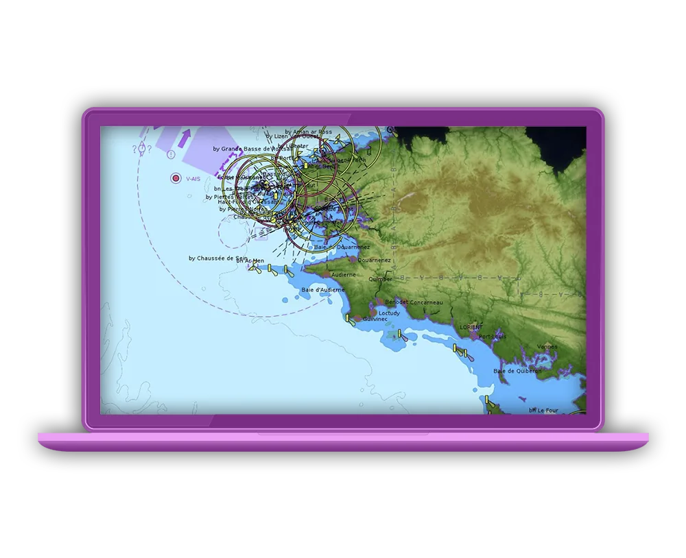
The SDK handles data formats beyond those found in the open source Apache SIS library. These are formats and capabilities related to nautical charts (S-57, S-52, S-63 and others), to aeronautical charts and to the defence domain (AML and others), and to generating 3D scenes in standard formats such as 3D Tiles from ordinary GIS data.
Easy to get started with
The SDK aims to make complex spatial capabilities straightforward to put in place for development teams that are not domain experts. It therefore offers a set of APIs abstracting away the domain's intrinsic complexity for the most common operations, which accelerates development. Where more expert needs arise, the more complex methods remain available. To support development teams as they build up skills with the tool, the SDK comes with rich documentation, a detailed Javadoc, tutorials and training delivered by experts on the solution.
Combine data and produce advanced, high-performance renderings
The SDK supports advanced rendering and processing from the data being handled. These operations rely as far as possible on the domain's conceptual models (the ISO/TC 211 standards), giving a tool and capabilities whose design draws on the best expertise in the field. Geomatys pays close attention to the solution's performance throughout its development.
Control over processing quality
The SDK can provide quality indicators on the results of the operations performed. It therefore makes it possible to master the accuracy of results, for controlled use in scientific or industrial settings.
Open up the field of possibilities
Examind SDK is the ideal tool to give your project a boost, not least through leading-edge performance backed by more than 15 years of geospatial expertise. In short, the development kit lets your project gain capabilities you build yourself, specific to your activity, without weighing on your infrastructure's performance.