The big data add-on of the Examind suite
By adding Examind Datacube to your data infrastructure, you extend its ability to work with very large volumes of georeferenced data in real time.
Your geospatial data lakes within reach
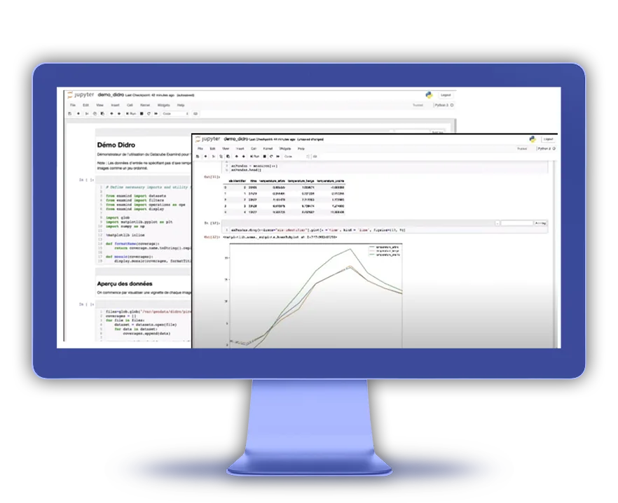
The data cube offers a unified interface for reaching a wide variety of files and database types. Building on the OGC GeoAPI standard, Examind Datacube interconnects geographic analysis and processing technologies in Java as well as in Python. Using Examind Server together with the data cube and a notebook makes it possible to build a geo-data-science workbench that visualises the results of elaborate algorithms in real time.
The add-on's key points
Reach multiple data sources
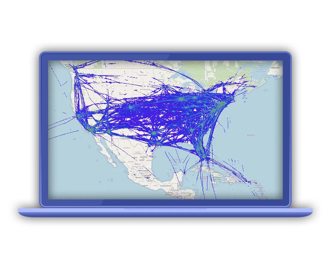
At the heart of your infrastructure, Examind Datacube indexes the resources available on the target data lakes. A complete add-on able to handle a wide variety of geospatial formats, it lets libraries that do not natively support those formats work with the data all the same.
Process large data volumes
Examind Datacube provides advanced mechanisms — indexing, optimised data readers, scalability — for extracting and transforming data on the fly while preserving performance. The whole data lake can therefore be exploited with no prior preparation of the data.
Work with every dimension of your data
All the data is reachable through products whose granularity and structure you choose. Work with that data in 2D, 3D or even 4D through programmatic APIs or standard OGC publishing services.
Metadata
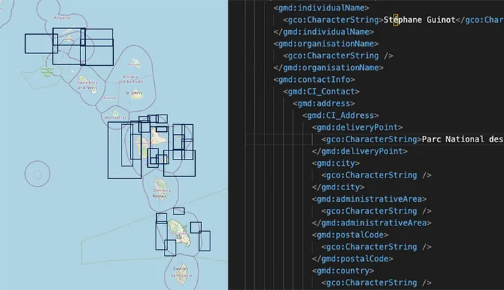
CS-W & STAC: for data and metadata management
Mapping
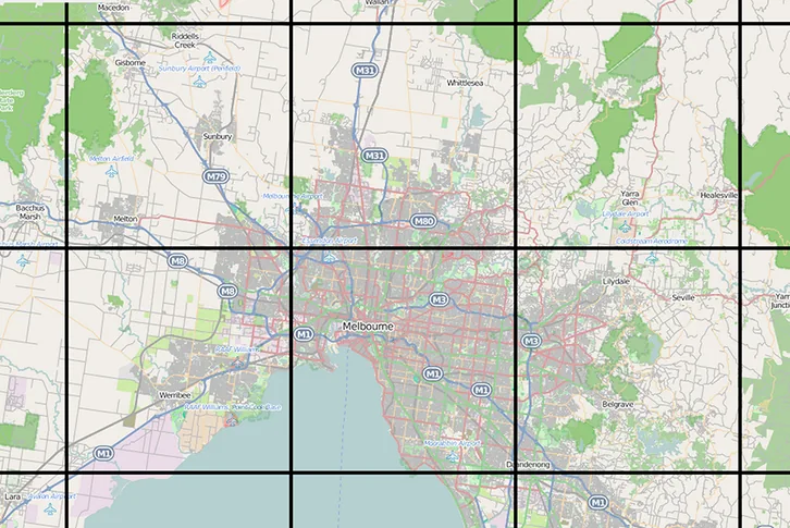
WMS and WMTS: for data visualisation through the classic services

Raster data
WCS: for publishing coverage data

Vector data
WFS: for publishing vector data
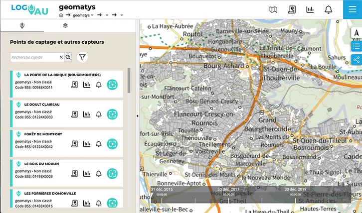
Sensor data
SOS and SensorThings: for publishing observation data and retrieving information from connected devices
Geoprocessing
WPS: for setting up distributed processing
G.H.O.M. challenges
Data fusion
CREATE ENDLESS PROCESSING CHAINS
Draw on a large set of processes for extracting and manipulating data, which can be combined with third-party libraries through the data cube APIs, letting you prototype and then move into production the processing chain that answers your need exactly. Prototyping can be done in a notebook, either Jupyter or Zeppelin.